National Taiwan Ocean University

整合關鍵技術,爭取建教合作機會,強化國際交流契機

透過既有研究技術整合,本中心提供專業優質的應用服務,以提升國內產學 合作參與量能;進而擴展國際交流與技術合作空間,增加建教合作的實質效益。

Integrate key technologies, strive for industrial cooperation opportunities, and strengthen opportunities for international exchanges

Through the integration of existing research technologies, GIS Center provides professional and high-quality application services to enhance domestic industry-university Cooperation and participation can increase capacity; further expand the space for international exchanges and technical cooperation, and increase the substantial benefits of educational cooperation。

結合研究發展量能,推廣地理資訊系統技術

本中心透過建教合作計畫推動,辦理各項技術教育訓練,促進政府部門 與公司產業對於地理資訊系統技術的認識;並藉由地理資訊系統技術的 應用,解決各單位的實務問題,進而提升中心核心價值。

Combining research and development capabilities to promote geographic information system technology

GIS Center is promoted through the construction and education cooperation plan, handles various technical education and training, and promotes government departments and the company's industry's understanding of geographic information system technology; and with the help of geographic information system technology Application, solve the practical problems of each unit, and then enhance the core value of GIS Center。

About us

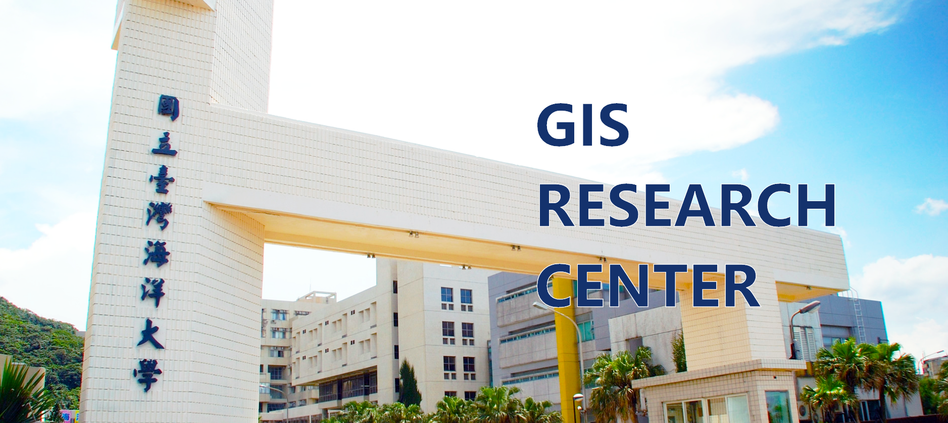
聯絡資訊Contact information

基隆市中正區北寧路2號
No.2, Beining Rd., Jhongjheng District, Keelung, Tawan 20224 (R.O.C.)
+886-2-2462-2192 分機:6163

國立臺灣海洋大學地理資訊系統研究中心 版權所有 © 2022 ALL Rights Reserved